


Send An Enquiry
Hemamaps Australia Road & 4WD Atlas Spiral Bound
SKU: AC63843
Part Number: MAP3446
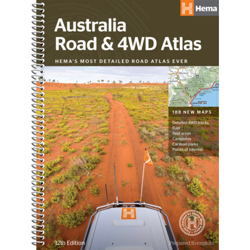
The Hema Maps Australia Road & 4WD Atlas Spiral Bound (MAP3446) is a comprehensive guide for touring, camping, and off-road adventures. It features detailed maps, 4WD tracks, campsites, and points of interest across Australia.
$39.99
Added to Your Cart
Product Availability by Store Location
Hours
Suitable For All
Delivery (Not Available)
The Hema Maps Australia Road & 4WD Atlas Spiral Bound is the ultimate companion for travellers, campers, and 4WD enthusiasts exploring Australia. Spiral binding allows the atlas to lay flat for easy map reading and navigation in the field.
This atlas includes up-to-date mapping for Australia’s most popular 4WD destinations, with detailed coverage of Cape York, Fraser Island, the Kimberley, the Pilbara, Central Australia, High Country Victoria, the Top End, and the Flinders Ranges. It also highlights campsites, caravan parks, rest areas, national parks, fuel locations, and points of interest, making trip planning simple and reliable.
Practical tools such as a distance grid, comprehensive index, and national park guide further support navigation and adventure planning. Compact and user-friendly, the spiral-bound atlas is perfect for anyone seeking a reliable, easy-to-use map resource for Australia.
Features:
- Spiral-bound format lays flat for easy use
- Detailed 4WD tracks and off-road destinations
- Campsites, caravan parks, rest areas, and fuel stops
- Points of interest and national parks guide
- Distance grids and complete index for trip planning
- Up-to-date mapping for Australia’s major regions
Part Number: MAP3446


Hemamaps Australia Road & 4WD Atlas Spiral Bound
$39.99
Added to Your Cart
Product Availability by Store Location
Hours